| ________________
CM . . .
. Volume XXIII Number 12. . . .November 25, 2016
excerpt:
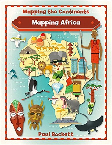
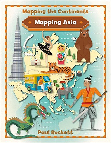
The six books in the “Mapping the Continents” series look at Africa, Asia, Europe, North America, South America, and Australia including Oceania and Antarctica. The books use colourful graphic images and photos to support a large quantity of text information in reader-friendly format. Young researchers and readers trying to decipher non-fiction text will find the content easy to access. The books follow a traditional organization with a table of contents at the beginning and an index at the end. Each book also includes a glossary and a “Further Information” page that includes population, size, capital city and main languages. Unfortunately, there is no indication when the population figures are from, and the area of each country is given in square miles only. There is a text box that indicates the formula for converting square miles to square kilometers. Fortunately, when measurements are mentioned in the main content of the books, the measurements are given in both imperial and metric. An interesting feature in each book is the layout which varies from landscape to portrait within each book. Some topics are presented in a double page landscape format so that you must turn the book ninety degrees to view the information. It is just a small change in format but one that does catch your attention as you are looking for information. My guess is that this will appeal to many and annoy some. The books are organized around the same content areas: location, history, climate, wildlife, natural landmarks, human-made landmarks, settlements, industries, sports, food and drink, and culture. Although very simplified, the information is specific enough to give an overview of important characteristics of each continent. Mapping Africa includes a chapter on “Early migration and empires” which looks at Ancient Egypt (3000-30 B.C.E), Empire of Ghana (700 C.E.-1235), and Mali (1230-1600). The next chapter looks at the European colonization of Africa and the road to independence. Mapping Asia contains one of the few missteps in this series. The chapter titled “Settlements” has a very confusing population map/graph.
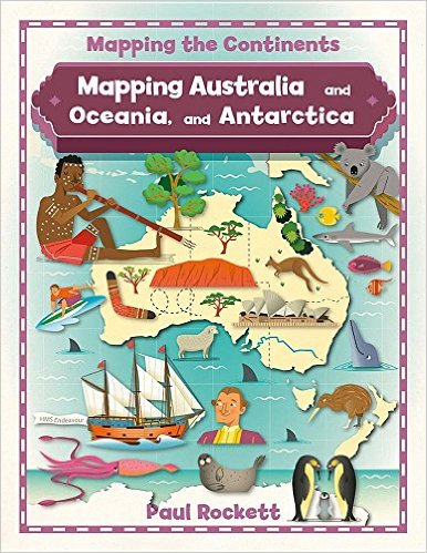
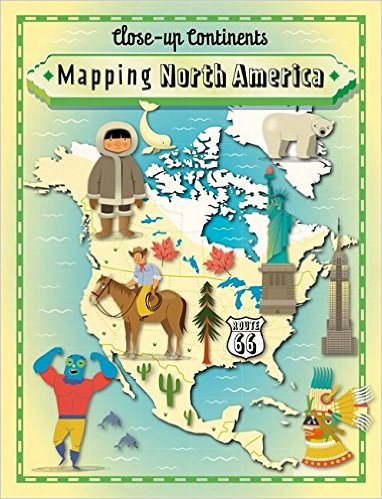
Fortunately, the rest of the information in this book about the largest continent in the world is much easier to decipher. Mapping Australia and Oceania, and Antarctica is mostly devoted to the continent of Australia/Oceania, comprised of Australia, Tasmania, and New Zealand, as well as Papua New Guinea and thousands of small islands in the Pacific Ocean. A final chapter in the book provides information about Antarctica. Mapping Europe includes the countries of Eastern and Western Europe as well as five transcontinental countries that cross over into the continent of Asia: Russia, Azerbaijan Georgia, Kazakhstan, and Turkey. A chapter titled “Dividing and uniting Europe” briefly outlines some of the changes to borders that happened in the twentieth century. This information will need to be updated again once Britain officially leaves the EU. Mapping North America includes a “Sporting profile” of Billie Jean King, an American tennis player.
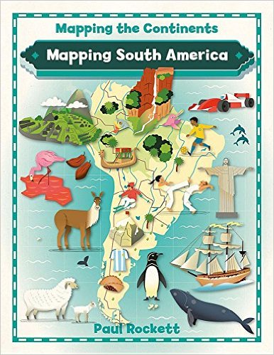
It also mentions women’s soccer, ice hockey, Mexican wrestling, and cricket. Mapping South America is equally informative and accessible as the other books in the series, except for two errors. The chapter “Where is South America?” shows a graphic representation of the continents ordered by size. The image labelled North America is shaped like the United States, not like the continent of North America. In the chapter “Culture”, there is a section about the Chilean poet Pablo Neruda that claims that he “was awarded the Nobel Peace Prize for Literature in 1971”. Neruda was awarded the Nobel Prize for Literature. The Peace Prize is a separate award. If you need any of these books, you probably need all of them. The consistency of the quality of information and the presentation make them all worthy of purchasing. Because some of the information, such as borders, names, and population statistics, will need to be updated regularly, you may want to purchase these books in paperback. Young readers and researchers are going to enjoy these books. They are visually appealing without compromising on the readability of the content. They are all winners. Highly Recommended. Suzanne Pierson, a retired teacher-librarian, is currently instructing librarianship courses at Queen’s University in Kingston, ON. Copyright © the Manitoba Library Association. Reproduction for personal
use is permitted only if this copyright notice is maintained. Any
other reproduction is prohibited without permission.
Next Review | Table of Contents For This Issue - November 25, 2016 |